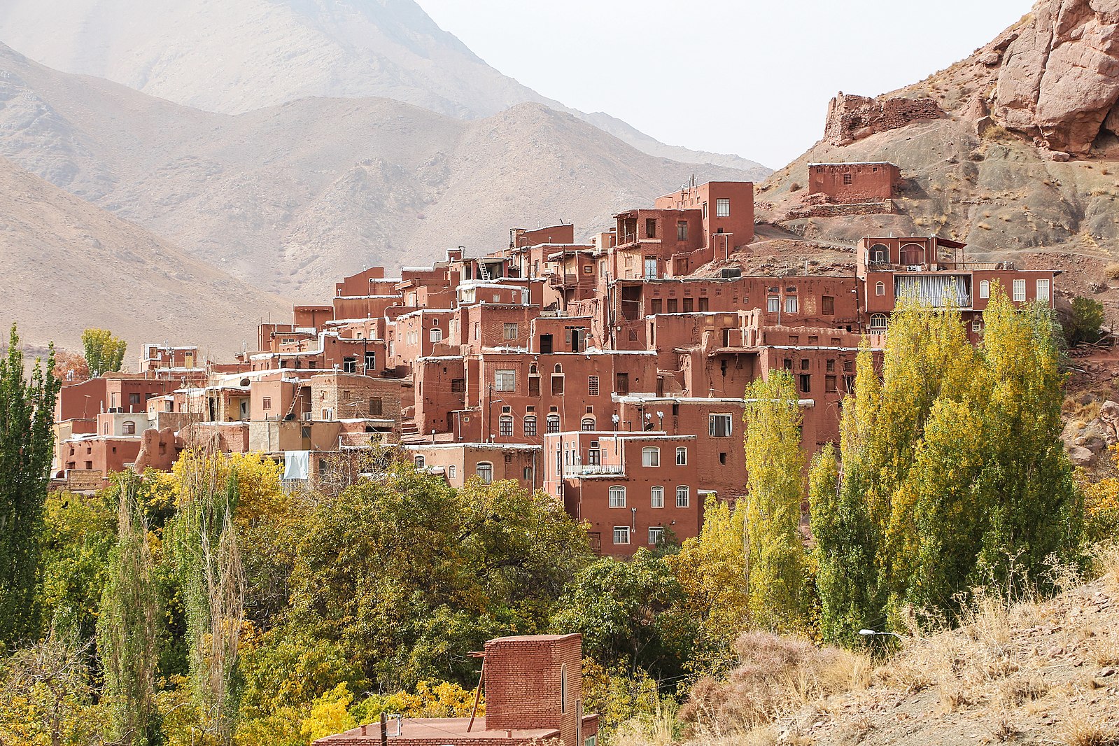
Countries

Explore Some of the Countries in Middle East

Saudi Arabia

flag of saudi arabia city of riyadh Ithra in Dhahran Kaaba in Mecca

Geography of Saudi Arabia

Saudi Arabia, officially the Kingdom of Saudi Arabia (KSA), is a country on the Arabian Peninsula in Western Asia. It has a land area of about 2,150,000 km2 (830,000 sq mi), making it the fifth-largest country in Asia, the second-largest in the Arab world, and the largest in Western Asia. It is bordered by the Red Sea to the west, Jordan, Iraq, and Kuwait to the north, the Persian Gulf, Qatar, and the United Arab Emirates to the east, Oman to the southeast, and Yemen to the south. Bahrain is an island country off the east coast. The Gulf of Aqaba in the northwest separates Saudi Arabia from Egypt and Israel. Saudi Arabia is the only country with a coastline along both the Red Sea and the Persian Gulf, and most of its terrain consists of arid desert, lowland, steppe, and mountains. Its capital and largest city is Riyadh. The country is home to Mecca and Medina, the two holiest cities in Islam.

Facts about Saudi Arabia

  • Major cities: Riyadh (capital), Jeddah, Dhahran, Mecca, Medina
  • Official language: Arabic
  • Established: 1727
  • Area: 2,149,690 km2
  • Population: 34,218,169
  • King: Salman bin Abdulaziz Al Saud
Close

United Arab Emirates

UAE flag Dubai city Abu Dhabi city Mosque in Abu Dhabi

Geography of The United Arab Emirates

The United Arab Emirates, or simply the Emirates, is a country in Western Asia. It is located at the eastern end of the Arabian Peninsula, and shares borders with Oman and Saudi Arabia, while having maritime borders in the Arab Gulf with Qatar and Iran. Abu Dhabi is the nation's capital, while Dubai, the most populous city, is an international hub. The United Arab Emirates is an elective monarchy formed from a federation of seven emirates, consisting of Abu Dhabi (The capital), Ajman, Dubai, Fujairah, Ras Al Khaimah, Sharjah and Umm Al Quwain. Each emirate is governed by an Emir and, together, they form the Federal Supreme Council; one of them serves as President of the United Arab Emirates. In 2013, the country had a population of 9.2 million, of which 1.4 million were Emirati citizens and 7.8 million were expatriates. As of 2020, the United Arab Emirates has an estimated population of roughly 9.9 million.

Facts about The United Arab Emirates

  • Major cities: Abu Dhahbi (capital), Dubai, Al Ain, Sharjah, Ras Al Khaimah
  • Official language: Arabic
  • Established: 1971
  • Area: 83,600 km2
  • Population: 9,282,410
  • Sheik: Khalifa bin Zayed Al Nahyan
Close

Qatar

Qatar flag Doha, Qatar Doha, Qatar Doha, Qatar

Geography of Qatar

Qatar; officially the State of Qatar, is a country in Western Asia. It occupies the small Qatar Peninsula on the northeastern coast of the Arabian Peninsula, and shares its sole land border with neighbouring Gulf Cooperation Council monarchy Saudi Arabia to the south, with the rest of its territory surrounded by the Persian Gulf. The Gulf of Bahrain, an inlet of the Arab Gulf, separates Qatar from nearby Bahrain. The capital is Doha, home to over 80% of the nation's population. In early 2017, Qatar's total population was 2.6 million: 313,000 Qatari citizens and 2.3 million expatriates. Its official religion is Islam. In terms of income, the country has the fourth-highest GDP (PPP) per capita in the world, and the sixth-highest GNI per capita (Atlas method). Qatar is classified by the United Nations as a country of very high human development, having the third-highest HDI in the Arab world. It is a high-income economy, backed by the world's third-largest natural gas reserves and oil reserves. Qatar is the world's largest exporter of liquefied natural gas, and the world's largest emitter of carbon dioxide per capita.

Facts about Qatar

  • Major cities: Doha (capital), Dukhan, Al Wakrah, Al Khor, Mesaieed
  • Official language: Arabic
  • Established: 1971
  • Area: 11,581 km2
  • Population:2,795,484
  • Sheikh: Tamim bin Hamad Al Thani
Close

Egypt

Flag of Egypt Pyramids of giza Sharm El Sheikh Cario city

Geography of Egypt

Egypt, officially the Arab Republic of Egypt, is a transcontinental country spanning the northeast corner of Africa and southwest corner of Asia via a land bridge formed by the Sinai Peninsula. It is bordered by the Mediterranean Sea to the north, the Gaza Strip (Palestine) and Israel to the northeast, the Red Sea to the east, Sudan to the south, and Libya to the west. The Gulf of Aqaba in the northeast separates Egypt from Jordan and Saudi Arabia. Cairo is the capital and largest city of Egypt, while Alexandria, the second-largest city, is an important industrial and tourist hub at the Mediterranean coast. At approximately 100 million inhabitants, Egypt is the 14th-most populated country in the world. Egypt has one of the longest histories of any country, tracing its heritage along the Nile Delta back to the 6th–4th millennia BCE. Considered a cradle of civilisation, Ancient Egypt saw some of the earliest developments of writing, agriculture, urbanisation, organised religion and central government. Iconic monuments such as the Giza Necropolis and its Great Sphinx, as well the ruins of Memphis, Thebes, Karnak, and the Valley of the Kings, reflect this legacy and remain a significant focus of scientific and popular interest. Egypt's long and rich cultural heritage is an integral part of its national identity, which reflects its unique transcontinental location being simultaneously Mediterranean, Middle Eastern and North African. Egypt was an early and important centre of Christianity, but was largely Islamised in the seventh century and remains a predominantly Sunni Muslim country, albeit with a significant Christian minority, along with other lesser practiced faiths.

Facts about Egypt

  • Major cities: Cairo (capital), Alexandria, Sharm El Sheikh, Aswan, Hurghada
  • Official language: Arabic
  • Established: 3150 BC
  • Area: 1,010,408 km2
  • Population: 102,674,145
  • President: Abdel Fattah Saeed Hussein Khalil el-Sisi
Close

Iran

Flag of Iran Tehran city Mount Damavand Village of Abyaneh

Geography of Iran

Iran, also called Persia, and officially the Islamic Republic of Iran, is a country in Western Asia. It is bordered to the west by Iraq and Turkey, to the northwest by Azerbaijan and Armenia, to the north by the Caspian Sea and Turkmenistan, to the east by Afghanistan and Pakistan, and to the south by the Gulf of Oman and the Persian Gulf. Iran covers an area of 1,648,195 km2 (636,372 sq mi), making it the fourth-largest country entirely in Asia and the second-largest in Western Asia. It has a population of 85 million, making it the 17th-most 
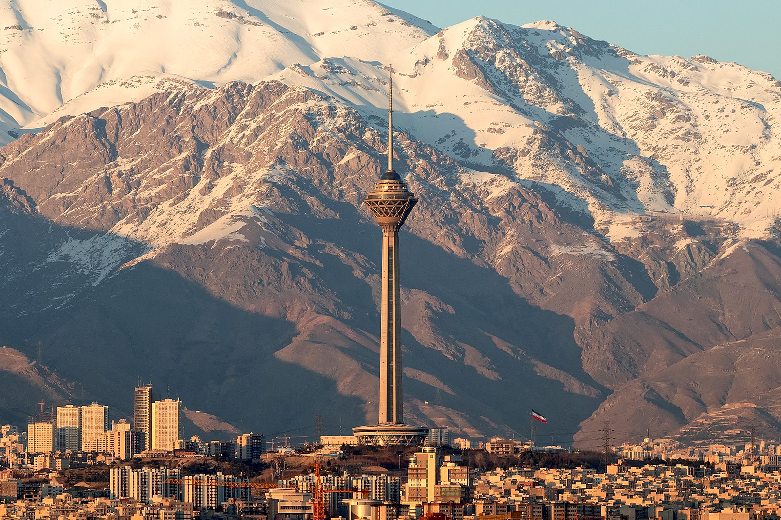
populous country in the world. Its capital and largest city is Tehran. Iran is home to one of the world's oldest civilizations, beginning with the formation of the Elamite kingdoms in the fourth millennium BC. It was first unified by the Iranian Medes in the seventh century BC, and reached its territorial height in the sixth century BC, when Cyrus the Great founded the Achaemenid Empire, which became one of the largest empires in history and has been described as the world's first superpower. The empire fell to Alexander the Great in the fourth century BC and was divided into several Hellenistic states. An Iranian rebellion established the Parthian Empire in the third century BC, which was succeeded in the third century AD by the Sasanian Empire, a major world power for the next four centuries. Arab Muslims conquered the empire in the seventh century AD, which led to the Islamization of Iran. It subsequently became a major center of Islamic culture and learning, with its art, literature, philosophy, and architecture spreading across the Muslim world and beyond during the Islamic Golden Age. Over the next two centuries, a series of native Muslim dynasties emerged before the Seljuq Turks and the Mongols conquered the region. In the 15th century, the native Safavids re-established a unified Iranian state and national identity and converted the country to Shia Islam. Under the reign of Nader Shah in the 18th century, Iran once again became a major world power, though by the 19th century a series of conflicts with Russia led to significant territorial losses. The early 20th century saw the Persian Constitutional Revolution. Efforts to nationalize its fossil fuel supply from Western companies led to an Anglo-American coup in 1953, which resulted in greater autocratic rule under Mohammad Reza Pahlavi and growing Western political influence. He went on to launch a far-reaching series of reforms in 1963. After the Iranian Revolution, the current Islamic Republic was established in 1979 by Ruhollah Khomeini, who became the country's first Supreme Leader.

Facts about Iran

  • Major cities: Tehran (capital), Isfahan, Kermanshah, Mashhad, Shiraz
  • Official language: Persian
  • Established: 678 BC
  • Area: 1,648,195 km2
  • Population: 83,183,741
  • Supreme leader: Ali Khamenei
Close

Lebanon

Flag of Lebanon Beirut city

Geography of Lebanon

Lebanon, officially the Republic of Lebanon or the Lebanese Republic, is a country in Western Asia. It is located between Syria to the north and east and Israel to the south, while Cyprus lies to its west across the Mediterranean Sea; its location at the crossroads of the Mediterranean Basin and the Arabian hinterland has contributed to its rich history and shaped a cultural identity of religious diversity. Lebanon is home to roughly six million people and covers an area of 10,452 square kilometres (4,036 sq mi), making it one of the smallest countries in the world. The official language of the state is Arabic, while French is also formally recognized; the Lebanese dialect of Arabic is used alongside Modern Standard Arabic throughout the country. The earliest evidence of civilization in Lebanon dates back over 7000 years, predating recorded history. Modern-day Lebanon was home to the Phoenicians, a maritime culture that flourished for almost 3000 years (c. 3200–539 BCE). In 64 BCE, the Roman Empire conquered the region, and it eventually became among the empire's leading centers of Christianity. The Mount Lebanon range saw the emergence of a monastic tradition known as the Maronite Church. Upon the region's conquest by the early Arab Muslims, the Maronites held onto their religion and identity. However, a new religious group known as the Druze eventually established themselves in Mount Lebanon as well, generating a religious divide that has lasted for centuries. During the Crusades, the Maronites re-established contact with the Roman Catholic Church and asserted their communion with Rome. The Maronite Catholic and the Druze founded modern Lebanon in the early eighteenth century, through the ruling and social system known as the "Maronite-Druze dualism" in Mount Lebanon Mutasarrifate.

Facts about Lebanon

  • Major cities: Beirut (capital), Tripoli, Sidon, Baalbek, Jounieh
  • Official language: Arabic and French
  • Established: 1920
  • Area: 10,452 km2
  • Population: 6,859,408
  • President: Michel Aoun
Close